
Search our site:
12082500-- Nisqually River nr National
Station Description
| Station name: Nisqually River Nr National | |
| Latitude (degrees, minutes, and seconds): | 464510 |
| Longitude (degrees, minutes, and seconds): | 1220457 |
| State Code: | WA |
| County Code: | Pierce |
| Hydrologic Unit Code: | 17110015 |
| Drainage Area (square miles): | 133 |
| Gage Datum (feet above NGVD 1929): | 1450 |
| ----Period(s) of Record---- 1 1942.06.01-1988.09.30 2 1989.10.01-Current | |
Questions? Ask us
Nisqually River near National Gage Vandalism
The gage was vandalized Friday May 17, 2002, between 5:30 and 7:00 pm when the gage house and stage and precipitation instruments were shot with a AK-47-type rifle. The measuring cableway was also damaged by severing the 1-inch main cable and removing the cable anchor hardware.
People with information about this are encouraged to call the Pierce County Sheriff Office, case number 02-141-0312.

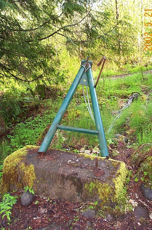
Photos by Tom McKenna, May 21, 2002.
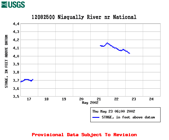
Gage-Height Data for May 17-23, 2002
Real-time Data at [Basin Map | State Map | Latest Data | Current Data | Historical Data]